For two days, Mpala staff and researchers stepped away from their usual routines and into an intensive, hands-on workshop focused on practical skills that underpin field research.
The Skill Building Workshop, held at Mpala on 27–28 August 2026, brought together participants for training in field data recording, camera trapping, radio telemetry, and data processing and management.
Opening the workshop, Mpala’s Acting Executive Director, Nelly Palmeris, welcomed participants and officially flagged off the two days of learning, encouraging them to make the most of the opportunity to strengthen skills applicable across research projects at Mpala.
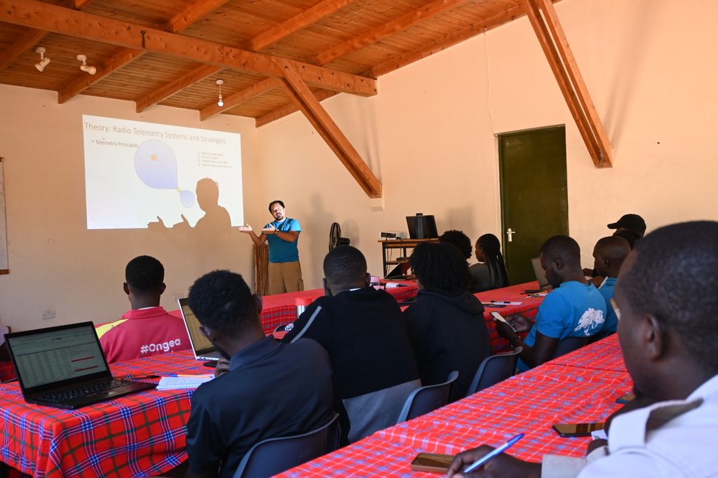
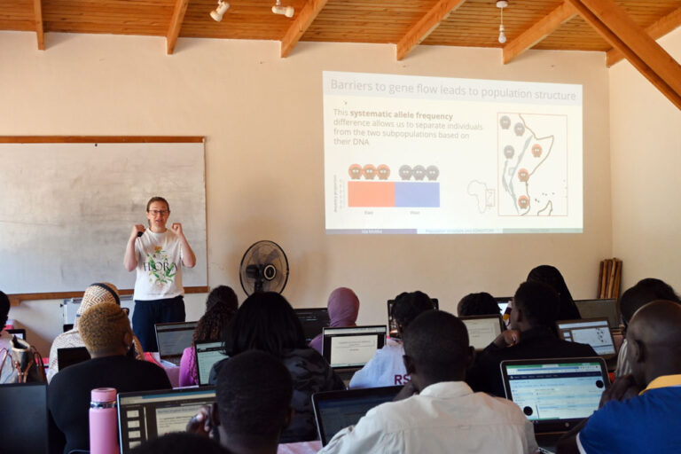
The workshop began in the classroom, where course instructor, Dr Mathew Snider introduced participants to the tools and techniques they would later put into practice in the field.
The first sessions focused on field data recording, including using QField on mobile phones, georeferencing maps, recording data points and metadata, and exporting data for storage and further analysis.
Rather than viewing field data as an isolated step, participants followed the journey of information from its collection in the field to its eventual organisation, storage, and sharing.
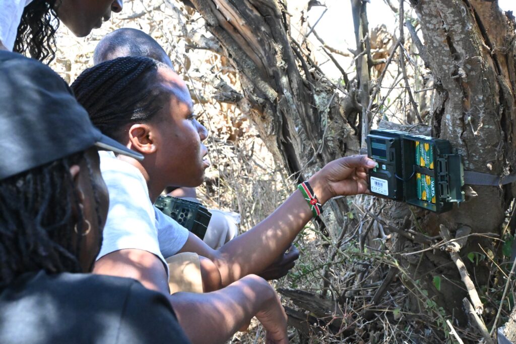
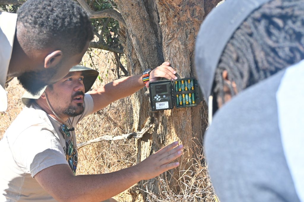
Participants explored the principles behind effective camera trap deployment, from selecting suitable locations and programming cameras to correctly positioning equipment in the field.
The exercise also looked beyond simply setting up a camera. Participants learnt about retrieving the equipment, uploading images, archiving records and processing the resulting data.
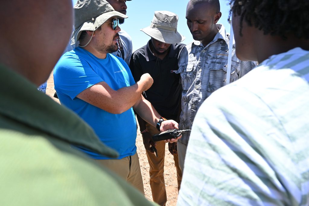
Another major component of the workshop was radio telemetry, a technique used by researchers to locate and track animals carrying radio transmitters.
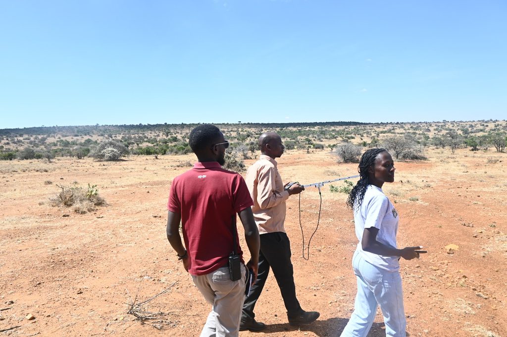
After being introduced to telemetry receivers, antennas and their applications, participants headed outdoors to put the theory into practice.
Working in small teams, they used radio telemetry equipment to locate transmitters placed in the landscape. The exercise introduced participants to triangulation and the very practical challenge of turning a signal from a receiver into a location on the ground.
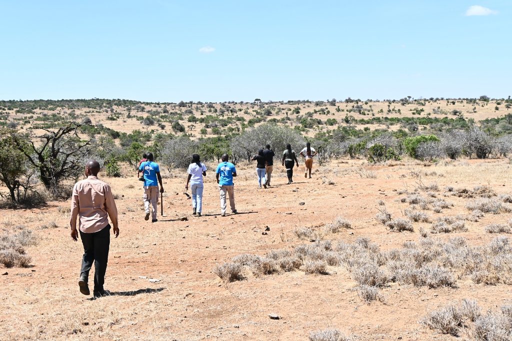
The field exercise was deliberately designed to connect the different skills.
Once teams located a transmitter, the site became their next camera trap deployment point. Participants had to assess the area, select an appropriate camera position, programme and deploy the equipment, and then record the relevant field information using QField and Mpala-specific georeferenced maps.
Telemetry led to a location. Camera trapping required decisions about that location. Field data recording documented those decisions.
It was a research methodology working as a connected process.
The focus then shifted from collecting data to managing it.
Participants worked through uploading and processing camera trap data, explored data summaries and visualisations, and looked at systems for tracking, archiving and sharing information.
They also practised exporting information collected through QField and recording metadata and notable events using shared digital tools.
The result was a workshop that followed the complete arc of field research.
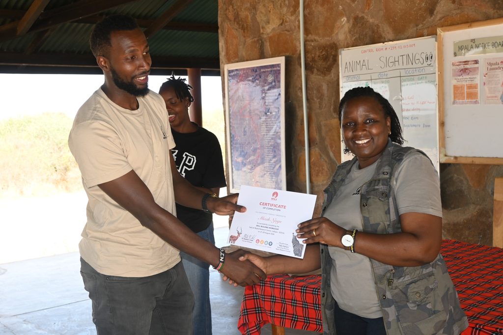
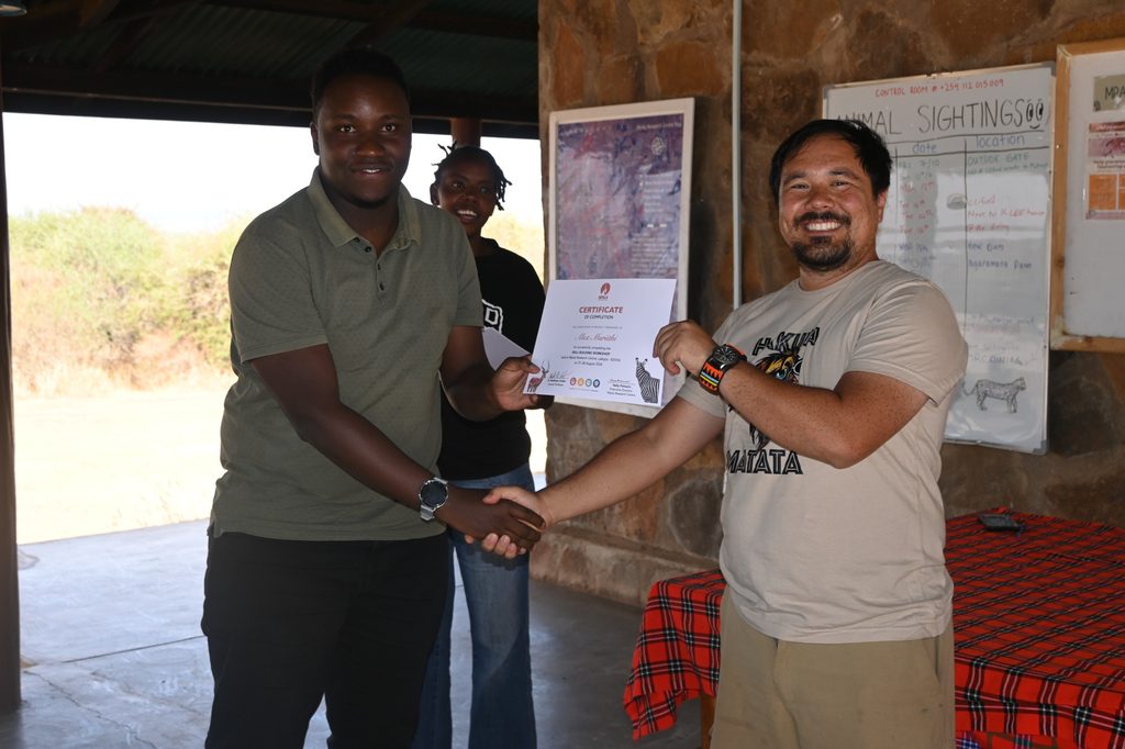
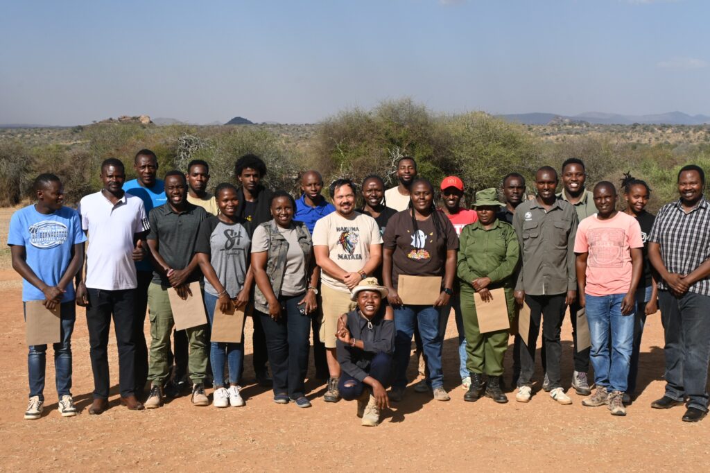
The workshop concluded with a reflection on the skills covered over the two days, followed by the presentation of certificates to participants.
More than a classroom training exercise, the workshop provided an opportunity to handle equipment, make decisions in real field conditions, work through mistakes and follow collected information all the way from the landscape to a usable dataset.