Prolonged and recurrent droughts are placing increasing pressure on ecosystems, wildlife, communities, and livelihoods across Kenya. In Laikipia, declining water availability is contributing to ecosystem degradation and resource scarcity, while placing additional pressure on pastoral livelihoods. Wildlife and local communities are particularly vulnerable, while cattle herds, a critical economic and social resource, are experiencing greater-than-normal losses during extended dry periods.
At Mpala Research Centre, water availability is central to the relationship between people, wildlife, ecosystems, and the environment. The landscape provides an important setting for understanding how water moves through an ecosystem, how long it remains underground, and how geological processes influence its availability and quality.
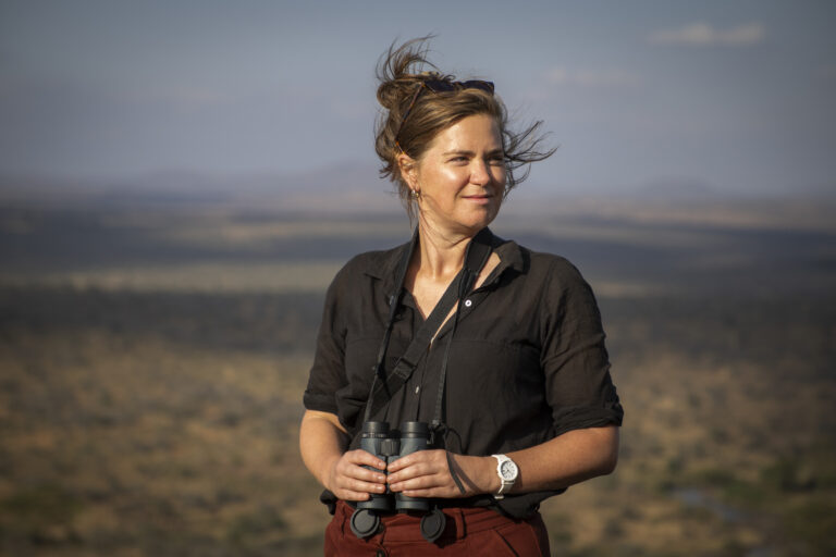
A project led by Prof. Elizabeth Niespolo and Dr. Fred Omengo of Princeton University’s Geosciences Department is investigating how the geological history and ongoing evolution of the Mpala landscape control the occurrence, movement, chemistry, and age of groundwater, and ultimately its long-term sustainability.
The research, sponsored by Princeton University, examines where groundwater originates, where it moves, how long it remains underground, and what controls its availability across different parts of the landscape.
The rocks and sediments that form the Mpala landscape play a fundamental role in determining how water is stored and transported and, ultimately, how it becomes available to support vegetation and wildlife. Geology also influences the availability and distribution of nutrients that support vegetation and the wildlife and livestock that depend on it.
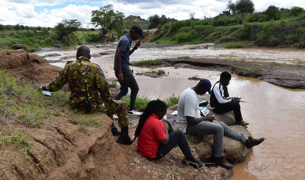
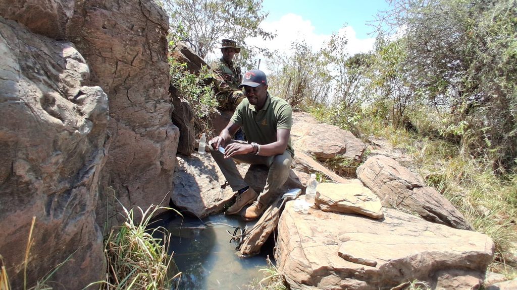
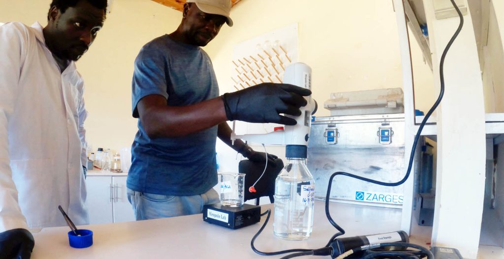
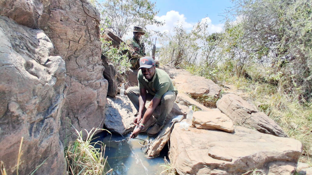
The project combines field observations, geophysical techniques, isotope chemistry, and detailed geochemical analyses to reconstruct the movement and evolution of water through the Mpala landscape. Further investigations using LiDAR and ground-penetrating radar (GPR) will help researchers map subsurface structures and identify potential pathways and groundwater storage zones.
The deeper aquifer system within Mpala appears to have relatively slow recharge rates, with this becoming more pronounced toward the eastern side of the conservancy. This suggests that some groundwater resources may be particularly vulnerable to prolonged drought and increasing water demand.
Toward the western parts of the landscape, relatively shallow aquifer systems appear to occur, including a number of perched aquifers and spring eyes.
Groundwater availability can therefore vary considerably even across relatively short distances. Understanding these differences is important in determining which groundwater resources are resilient, which are vulnerable, and how their availability may change as climatic conditions continue to shift.
The project approaches groundwater not simply as a resource for extraction but as part of a wider landscape system that connects soils, vegetation, wildlife, people, and climate. By reconstructing how water has moved through the Mpala landscape in the past and examining how it behaves today, the research is building a clearer picture of how these groundwater systems may respond to future environmental change.